Planning Permission for Farms and Agricultural Land
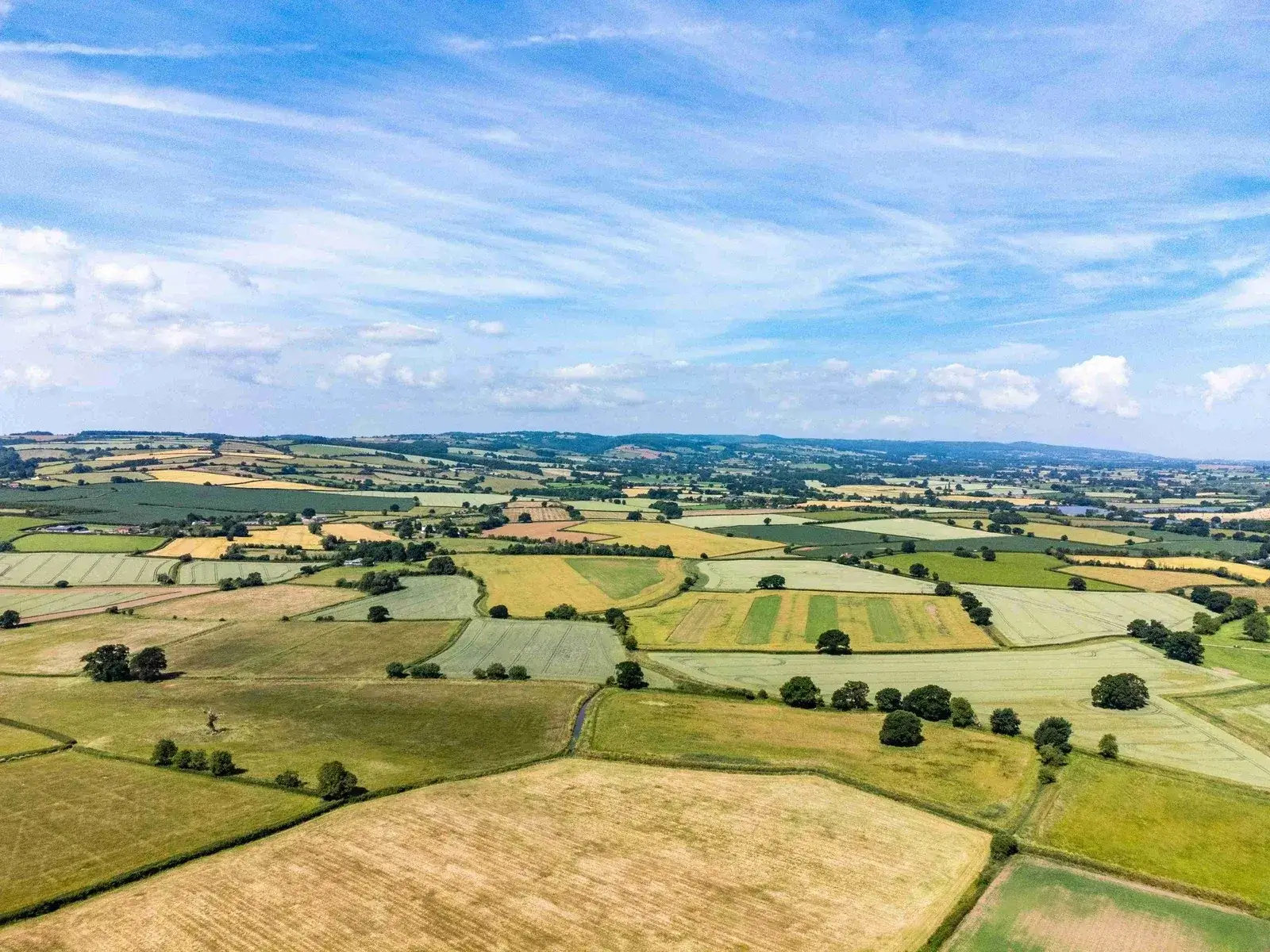
For many farmers in Derbyshire, the question is not simply whether the farm is productive agricultural land today. The more important question is whether part of the holding could have realistic planning potential in the future. Planning permission on farmland can depend on a wide range of matters, including the relationship of the land to nearby settlements, access, highways, landscape, heritage, ecology, flood risk, infrastructure capacity and the relevant Local Plan position. Derbyshire includes urban fringe locations, market towns, Peak District landscapes, former industrial areas and extensive rural land. Farms close to Derby, Chesterfield, Matlock, Ashbourne, Ilkeston, Long Eaton, Swadlincote and other settlements may need a careful planning appraisal to identify any development potential.
Value My Land helps farmers take an informed view before they spend money on planning consultants, surveys or speculative applications. We review the planning position, identify the opportunities and constraints, and advise whether land promotion or a planning application may be suitable.
Key factors affecting farms in Derbyshire include:
Settlement Location
Farms adjoining towns or villages are often more likely to attract planning interest.
Access and Highways
Safe access to the public highway is one of the most important technical issues.
Local Plan Policy
Emerging Local Plans, allocations and Call for Sites exercises can create opportunities.
Housing Need
Where councils need housing land, suitable farm sites may become more attractive.
Constraints
Flood risk, ecology, heritage and landscape issues must be assessed and mitigated.
Deliverability
Councils want sites that can realistically be delivered within the plan period.
What Councils Consider When Assessing Farm Development
Councils usually assess whether development would be sustainable, deliverable and consistent with planning policy. For farms in Derbyshire, this can include whether the land is close to Derby, Chesterfield, Matlock, Buxton, Ashbourne, Ilkeston, Long Eaton, Swadlincote and villages across the county, whether it adjoins an existing settlement, whether safe access can be achieved, whether services and facilities are available, and whether any environmental constraints can be mitigated.
Land outside a settlement boundary is not automatically unsuitable, but the planning case needs to be carefully prepared. Where councils need to identify new housing sites, review settlement boundaries or respond to housing land supply pressures, farm land can sometimes become a realistic development opportunity.
Relevant local planning authorities include Derby City Council, Amber Valley Borough Council, Bolsover District Council, Chesterfield Borough Council, Derbyshire Dales District Council, Erewash Borough Council, High Peak Borough Council, North East Derbyshire District Council and South Derbyshire District Council.
How Value My Land Can Help
Value My Land can provide farmers with a free initial assessment of planning prospects and development value. We can review the Local Plan position, consider whether your farm could be submitted through a Call for Sites process, assess whether a planning application may be viable, and explain how land promotion could help fund the planning process without the farmer taking on the full upfront cost or planning risk.
Where appropriate, we can help bring together the planning, technical and commercial strategy needed to promote farm land for residential, commercial or mixed-use development.
Frequently Asked Questions
Free Farm Land Assessment in Derbyshire
Value My Land can review your farm’s planning prospects, development potential and possible routes to maximising value.
Find Out What Your Farm in Derbyshire Could Be Worth
Contact Value My Land today for a free, no-obligation review of your farm land, planning prospects and development potential.