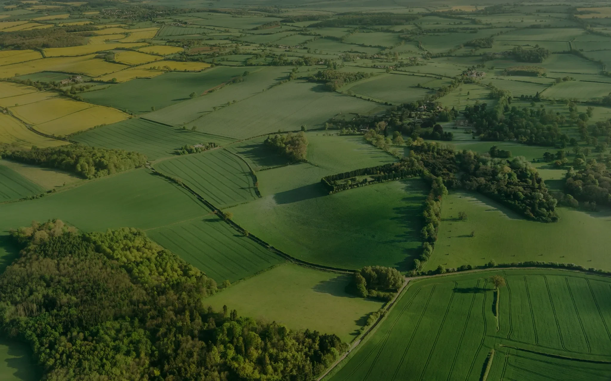
Bromsgrove District combines Bromsgrove town, larger service settlements, rural villages, strategic transport corridors and an extensive Green Belt. Land value can vary substantially according to the settlement served, planning designation, access and the level of infrastructure needed.
We assess land around Bromsgrove, Catshill, Hagley, Rubery, Wythall, Alvechurch, Barnt Green and the district's smaller settlements. This includes agricultural fields, paddocks, brownfield sites, rural employment land, town and village infill, and larger parcels that may require promotion through the Local Plan.
Our review considers the adopted District Plan, the emerging plan to 2044, Green Belt purposes, settlement sustainability, the A38, M5 and M42 corridors, railway access, landscape, heritage, flood risk, drainage, ecology, utilities and development costs.
Our initial assessment is completely free and comes with no obligation.